Image 1 of 9 Of: Weather Copyright: brit-siv@obskorps Comment: Lange periodar med oppholdsvær i løpet av dagen
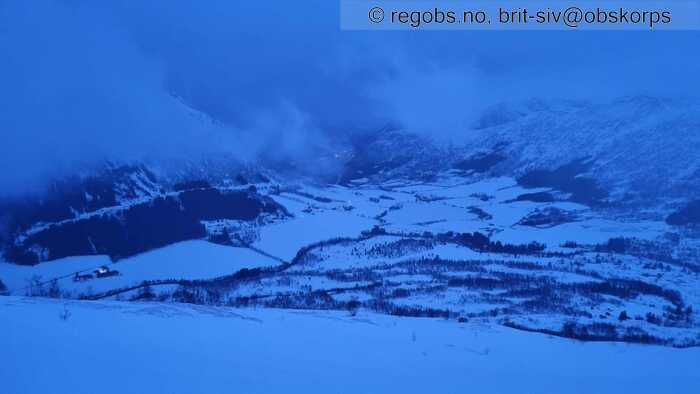
Image 2 of 9 Of: Weather Copyright: brit-siv@obskorps Comment: Tettare skydekke, og fleire byger mot kvelden
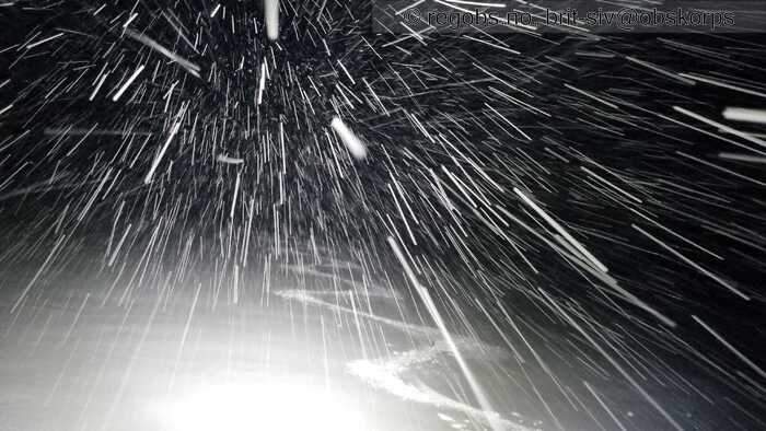
Image 3 of 9 Of: Weather Copyright: brit-siv@obskorps
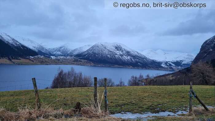
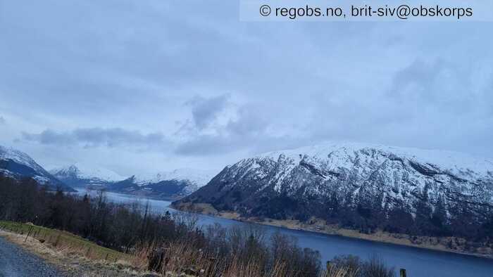
Image 4 of 9 Of: Snow Cover Copyright: brit-siv@obskorps Comment: Barmark rundt Jølstravatnet til ca 400 moh
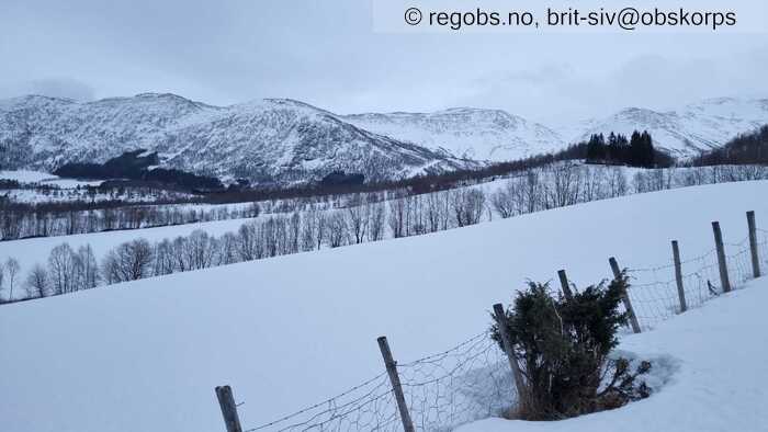
Image 5 of 9 Of: Snow Cover Copyright: brit-siv@obskorps Comment: Dvergsdalsdalen
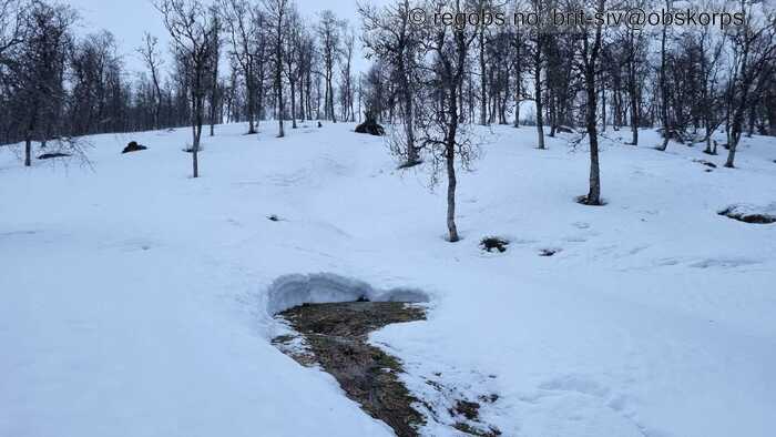
Image 6 of 9 Of: Snow Cover Copyright: brit-siv@obskorps
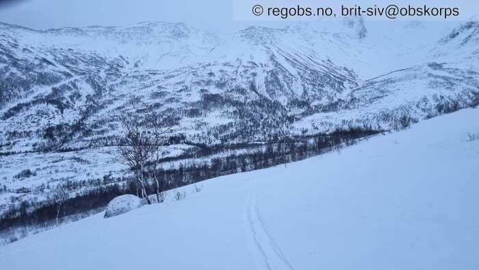
Image 7 of 9 Of: Snow Cover Copyright: brit-siv@obskorps Comment: Tynt lag nysnø oppå bærande skare
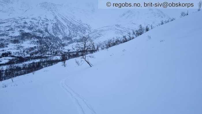
Image 8 of 9 Of: Snow Cover Copyright: brit-siv@obskorps
Image 9 of 9 Of: Snow Cover Copyright: brit-siv@obskorps
Danger Sign
• Recent snowdrift • Område: I dalen/fjorden. Skildring: Frå ca 700 moh, enkelte tynne små flakdanningar. Meir utbredt frå 8-900 moh, men fortsatt beskjeden tjukkelse på flakdanningane.
Avalanche Activity
• 16. Feb. During the day (+01:00) • No avalanche activity
Weather
• Snow • -2 °C • 8 m/s from SW ↗ • 100% clouds • Lange periodar med oppholdsvær i løpet av dagen, og enkelte byger. Aukande nedbør, og mindre oppholdsvær i kveld. Vind frå sørvestleg retning, aukande vind frå 8-900 moh og oppover.
Snow Cover
• 100 cm • Some snow drift • 5 cm • Elevation of new snow 400 masl. Snow line at 400 masl • Storm slab (soft slab) • Dry • Good • Snøgrense på ca 400 moh i sidedalane rundt Jølstravatnet. Lågare snøgrense i andre dalfører i Sunnfjord som Angedalen og Naustedalen. Det gamle snødekket er vått og delvis smelteomvandla etter mildværet i helga, med eit skarelag i overflata. Har vore mildvær til over 1100 moh her. Det finst restar av eit kantkornlag under eit skarelag djupare i snødekket, men dette er vått og gir ingen respons ved testar. Frå 400 moh er det eit tynt dryss av nysnø oppå skaren. Frå 6-700 moh 5-10 cm nysnø, vanskeleg å sei kor mykje fordi den ligg ugjevnt fordelt pga vind. Enkelte små tynne flakdanningar frå ca 700 moh, men svært begrensa omfang. Frå ca 8-900 moh større utbredelse av vindtransportert nysnø, men begrensa nysnømengde så fortsatt tynne flakdanningar. Generelt 10-15 cm vindtransportert nysnø oppå skaren, enkelte stader 20-25 cm tjukkelse. Avblåste ryggar.
Tests
• CTM12@10cm(Q2) • Medium
• ECTN11@10cm(Q2) • Good • Brudd under spaden, men ingen teikn til bruddforplantning
Snow Profile
• E • 2 tests connected to snow profile • Persistent weak layer: thin layer, below slab • 7 temperature points observed
Avalanche Problems
• Dry slab avalanche • Buried weak layer of new snow • Within half a meter • The collapsing weak layer is thin < 3 cm. The overlying slab is soft. • Easy to trigger • 2 - Medium • Some steep slopes N, NE, E, SE above 800 masl • Opp til 1100 moh som eg var i dag begrensa nysnømengde i detteområdet, og kun aktuelt med str 1 små flakskred.
Avalanche Danger Assessment
• Det er i den siste innblåste snøen det kan være mulighet for å løyse ut små til middels store skred. Opp til 1100 moh som eg var i dag i denne delen av regionen begrensa str på flakdanningar og faregrad 1. I høgareliggande fjellområda og stader som har fått meir nysnø vil ein kunne få middels store skred og her vil det være faregrad 2 • Gunstig temperatur gir rask stabilisering av fokksnø. Men aukande nedbør utover fredagen i kombinasjon med vind vil gi aukande skredfare. Det er fortsatt vindtransport av nysnø som vil gi pålagring og ustabile nysnøflak som skredproblem. • 2 Moderate • Forecast correct • Varsla faregrad er truleg rett i dei mest utsatte delane av regionen som har fått mest nedbør. Ellers mange stader med lågare skredfare.

